Better data from the ground up.

An open-source soil database for gardeners, researchers, and land managers. Record real soil data, uncover what plants actually thrive in, and help build the resource that general references can't.

View on GitHub Learn More

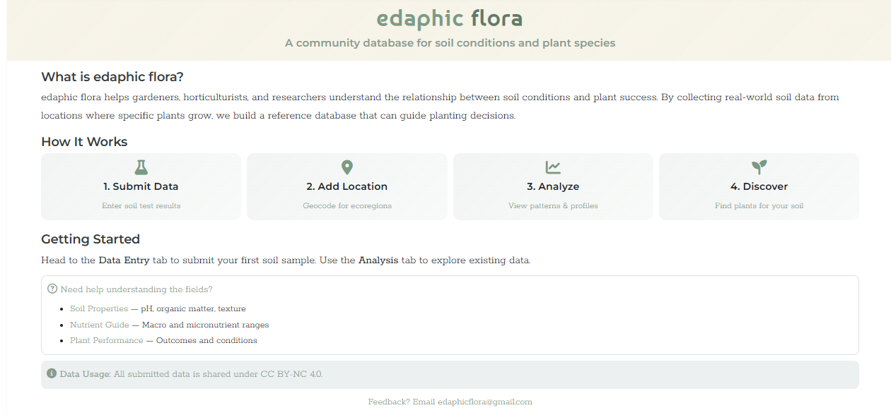
Real soil data for real growing conditions.

Most plant references say "well-drained soil" and call it a day. We're building something better — a crowdsourced database of real soil test results from real growing locations. Whether you're restoring a prairie, managing public land, conducting research, or just trying to figure out what to plant in your yard — real data beats guesswork.

edaphic /ɪˈdaf.ɪk/relating to the soil, especially as it affects living organisms.

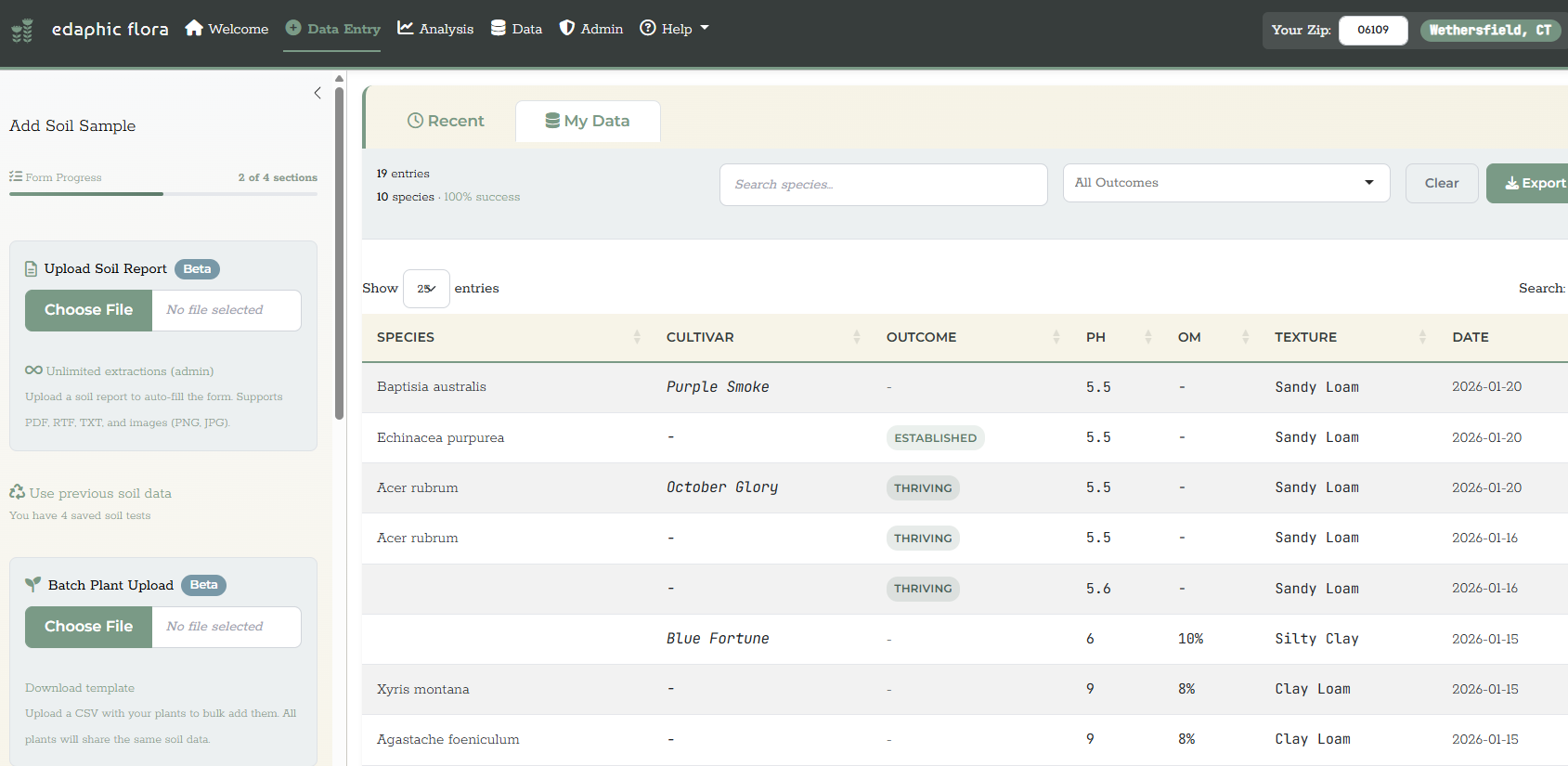
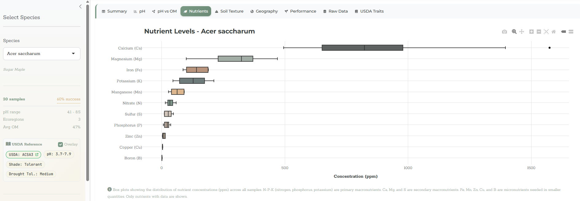
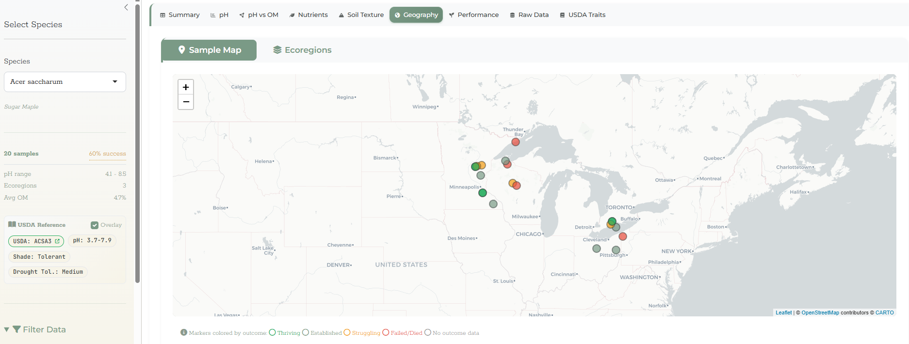
Upload soil lab reports or enter data manually. The app extracts pH, macronutrients, texture, organic matter, and maps every sample to EPA Level IV ecoregions. Over time, the data reveals real-world soil preference profiles that plant tags never will.

360K+ Species
93,915 USDA Records
50 States Tracked

Built for dirt nerds.

Multi-Species Data Entry

Record soil samples for up to 20 species at once. Batch upload with CSV import for existing datasets.

AI Soil Report Extraction

Upload PDF, RTF, or image files from your soil lab. Values are auto-extracted and populated.

Interactive Visualizations

pH distributions, nutrient analysis, soil texture ternary diagrams, correlation heatmaps, and more.

EPA Ecoregion Mapping

Every sample is geocoded and mapped to EPA Level IV ecoregions with interactive Leaflet maps.

USDA Reference Data

Integrated reference data for soil preferences, wetland indicators, and native/invasive status across all 50 states.

Species Validation

360K+ accepted species from the World Checklist of Vascular Plants ensure taxonomic accuracy.

See it in the field.

Welcome page with database statistics and sample locations map
welcome — database overview
Data entry form with PDF upload
data entry — pdf extraction
Nutrient analysis dashboard
analysis — nutrient profiles
Geographic distribution mapping
geography — ecoregion mapping

Built in the open.

edaphic flora is free software. The code and data are licensed separately to protect both contributors and the community.

Application Code

Free to use, modify, and distribute. All derivative works must also be open source.

AGPL-3.0-or-later

Crowdsourced Data

Free for non-commercial use with attribution. Contact us for commercial licensing.

CC BY-NC 4.0